


New TWRI-led Grow Zone project at Wolf Pen Creek Park shows promise for stream restoration, cultivates native plants along urban creek.
FY 2026 – FY 2027 Water Resources Advancement Program Request for Proposals is now open
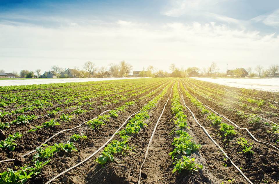
Texas A&M AgriLife Research, the Texas A&M AgriLife Extension Service and Texas A&M Engineering Experiment Station are seeking multidisciplinary proposals that focus on key areas of water resources that will result in critical research and outreach needed to advance water resources management in Texas.
The focus areas are agricultural efficiency and water management; urban water management; and emerging contaminants.
Proposal packages must be submitted electronically by 5 p.m. on July 7, 2025, to TWRI_Proposals@ag.tamu.edu as detailed in the request for proposals.

2025 Texas A&M AgriLife Water Symposium
August 12-14, 2025
Texas A&M AgriLife Research and Extension Center at Dallas
17360 Coit Road, Dallas, Texas
Register to attend the 2025 Texas A&M AgriLife Water Symposium, hosted by the Texas Water Resources Institute at the Texas A&M AgriLife Research and Extension Center in Dallas, August 12-14.
The Water Symposium aims to bring together all faculty and staff working in water-related research to foster collaborations and address critical research needs within the Texas A&M system.
Making every drop count since 1952
News

Follow along with TWRI's water team as we monitor one of our newest projects, Sandy Creek.

As part of TWRI's Watershed Planning Short Course program, watershed coordinators and other water resource professionals convened in College Station f…

Catch up on the latest peer-reviewed research on Texas water from universities throughout the state.

Preparing students for water-focused careers, Texas A&M professor expands one of the university's fastest-growing courses.

This Texas A&M researcher has dedicated his career to improving community resilience and environmental public health outcomes.

Residents near Benavides, Falfurrias, Robstown, Rio Grande City, Laredo, Zapata, Hebbronville, Alice and Kingsville are invited to free well water scr…

Local stakeholders invited to learn about and contribute to improving water quality.

The Texas Water Journal has published a new article in Volume 16, titled “Dam Failure and Reconstruction in the Guadalupe Valley Lakes Region of Centr…

Texas A&M undergraduate students have gained valuable technical and professional skills while working alongside TWRI scientists.

Follow along with TWRI's water team as they collect water measurements and PFAS samples in the Lavaca River and Port Lavaca.

Residents of the Brushy Creek watershed and well owners near Thrall, Georgetown and Taylor are invited.
Our Team in the Media
Not only has population growth and aging infrastructure put a strain on existing stormwater drainage systems in Texas, but climate change impacts have…

La investigadora dedica su vida a cuidar mantos acuíferos transfronterizos.

Officially, the U.S. and Mexico share 11 groundwater basins. A new map bumps that figure up to a stunning 72.

Publications


We provide science-based, community-supported solutions for the state’s pressing water quantity and quality challenges through internal expertise and external collaborations.
Our Events
Click here to view all TWRI events
Water Conferences, Seminars
There are no upcoming events